
 GENERAL INFORMATION
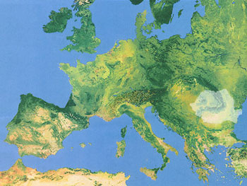
GEOGRAPHICAL LOCATION
Romania is located in South-East Central Europe, north of the Balkan Peninsula,
on the Lower Danube, within and outside the Carpathian arch, bordering on
the Black Sea. It lies between 43º37’07” and 48º15’06” latitude
north and 20º15’44” and 29º41’24” longitude
east. The parallel of 45º north latitude (midway between the Equator
and the North Pole) crosses Romania 70 km north of the capital, and the meridian
of 25º east longitude (midway between the shore of the Atlantic and
the Ural Mountains) passes 90 km west of Bucharest. Romania is situated at
the contact of Central Europe with Eastern Europe and the Balkan Peninsula,
at the junction of major west-east and north-south European routes. Three
elements have decisively marked the destiny of this area: the Carpathian
Mountains, the Lower Danube and the opening to the Black Sea. With their
arched form, the Carpathians determined the position of three big historical
regions - the intra-Carpathian space, opening to Central Europe, the area
east of the mountains, opening to the North Pontic steppes and the one south
of the mountains, facing the Balkan Peninsula. The Danube (Europe’s
second longest river), which separates the Carpathian area from the Balkan
world, has always provided a connection between Central Europe and the Black
Sea, and has opened a gate towards the Mediterranean and the eastern world.
Therefore, Romania equally belongs with the Danubian and the Black Sea states,
its territory constituting a bridge between Central and Southeastern Europe
and the Near East.
BOUNDARIES
Romania’s borders total 3,149.9 km. Two thirds of them (2,064.4 km)
are marked by rivers -- the Danube, the Prut, and the Tisza -- or follow
the Black Sea shoreline, while the remaining one third (1,085.5 km) is traced
over land. Romania's territorial waters extend 12 nautical miles into the
Black Sea.
NEIGHBOURS
Romania borders on five countries, its sixth neighbour being the Black
Sea. To the NE and E it borders on the Republic of Moldavia (681.3 km),
to the N and E on Ukraine (649.4 km), to the SE on the Black Sea (193.5
km), to the S on Bulgaria (631.3 km), to the SW on Yugoslavia (546,4
km) and to the W on Hungary (448.0 km). Between 1918 and 1991, over 40%
of the borderline separated Romania from the USSR, at the time the largest
country in Europe and the world.